Geospatial Services


JM Consulting has a good track record of delivering high quality spatial services to our clients all over the world.
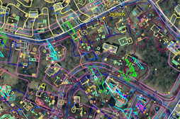
The Geospatial services rendered by usallows for the visualization of geographic data, analysis of spatial relationships and efficient data management. The spatial data conversions allow data from different sources to be merged in one common format, which allows for easy access, analysisand utilization.
JM works on spatial data conversions and prepares electronic maps using Geographic Information Systems (GIS) technology by utilizing the data that has been captured by our clients.
A vast expertise, experienced and qualified staff allows JM to integrate GIS, CAD and Global Positioning Systems (GPS) services, by using high-end GIS Mapping and GIS data conversion software’s. These services assist our customers to produce contour maps, spatial maps, atlas maps, cadastral maps, thematic and zonal maps, landscape maps, and environmental maps for host industries such as mining and geology, utility, agriculture, petroleum pipelines, land information management, and other GIS Mapping companies and Remote Sensing companies which includes Government and industrial organizations.
PHOTOGRAMMETRY
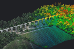
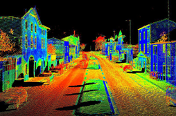
LIDAR
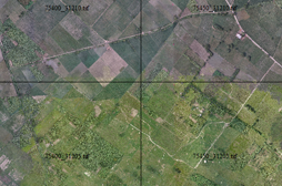
ORTHOPHOTO
GIS
AERIALTIRANGULATION
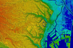
REMOTE SENSING
MOBILE MAPPING

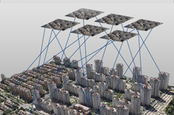
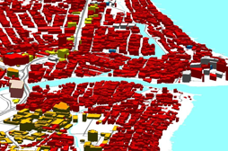
3D CITY MODELING